

LANG SON
All images on this site: Dan Harder
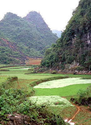 Hu'u Lien Protected Area |
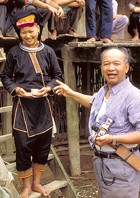 Prof. P.K. Loc with Dao at Lan Dat village, Hu'u Lien Protected Area. He is with the National Dance Champion. |
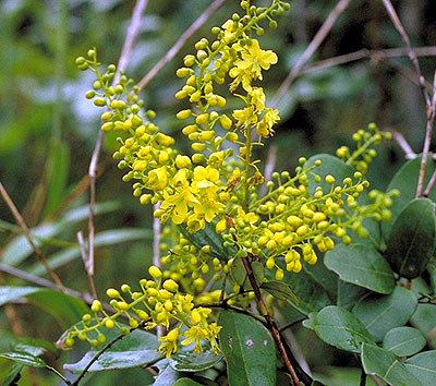 Fabaceae (DKH 4173), Caesalpineaceae Hu'u Lien Protected Area |
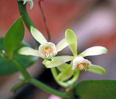 Vanilla albida Blume (DKH 4186) Hu'u Lien Protected Area |
Total Area: 8,187 sq.km
Population: 704,643
Provincial Capitol: Lang Son Town
Districts: Trang Dinh, Binh Gia, Van Lang, Bac Son, Van Quan, Cao Loc, Loc Binh,
Chi Lang, Dinh Lap, Huu Lung
ETHNIC DIVERSITY The main ethnic groups found in that area include the Kinh, Tay, Nung, Dao, and Ngai.
Lang Son is located far north at the 0 km landmark of National Highway 1A, more specifically at Huu Nghi Quan (Friendship Gate). This is an important transportation link between Vietnam and China.
CLIMATE The annual average temperature is 21.5°C with an annual humidity of 82%.
THREATS Reduction of forest due to increased agriculture.