
We can, however, already formulate a few ideas of what the application of White's basic approach might tell us here in Madagascar. Cornet (1974) developed a bioclimatic map that clearly shows the presence of highly localized climatic conditions in several parts of the country, including in the transition zone around Vohemar located between the humid east coast and the dry north of the island,
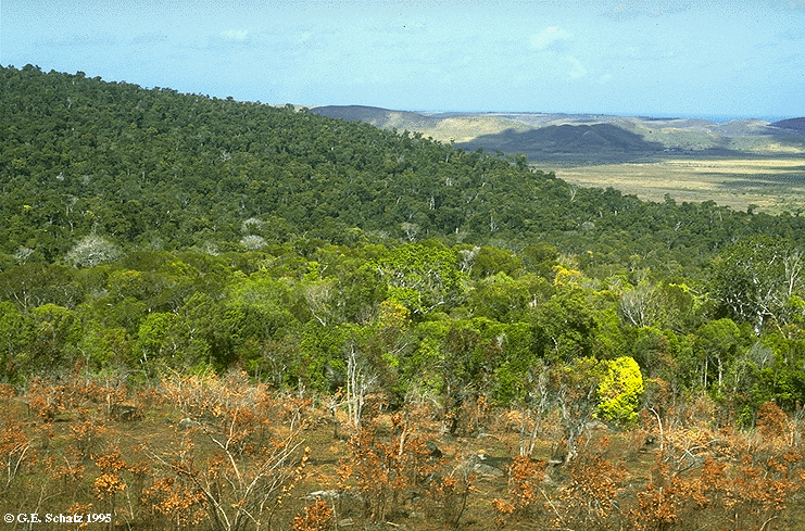
an area that corresponds precisely to a restricted zone containing a number of locally endemic plant species. Similarly, the transition between the humid east coast forest and the dry south to the west of Fort Dauphin, as shown here at Parcel 3 of the Andohahela Strict Nature Reserve, harbors numerous endemic species including Dypsis decaryi.
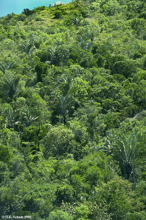
Cornet's map also shows a specialized local climate around Morafenobe, where a disjunct area of true evergreen forest occurs at Ambohijanahary Special Reserve, with many species that are otherwise restricted to the eastern part of the country. The application of White's approach to Madagascar would also result in treating all evergreen forests as a single broad physiognomic category -- whose distribution, largely coincides with the humid and subhumid stages indicated in blue and green on Cornet's map. Reliable chorological information would then potentially allow us to differentiate floristically distinct zones within these evergreen forests. If the ultimate goal of classification and mapping is to reveal biogeographic patterns in order to recognize and delimit areas that are biologically distinct, then chorology clearly must play a central role. This certainly appears to be the case in Madagascar, where one of the most important applications of a vegetation map is for conservation planning.